Google DeepMind and WRI Release AI-Powered Global Forest Map
Google Deepmind and the World Resources Institute have released ForTy, a global map that sorts forests and other land into six categories. The tool could support deforestation tracking under EU rules, but it misses a large share of plantations and tree-crop areas.
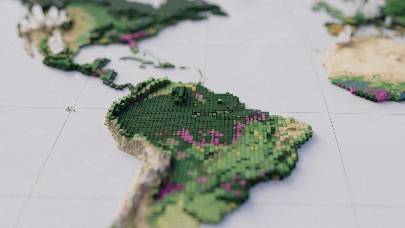
Google Deepmind and the World Resources Institute have released ForTy, a global map that classifies forests and other land into six categories, including primary forest, plantations and tree crops. The project combines satellite data with artificial intelligence and is intended to give a more detailed picture of where forests are and how they are used.
The map could help track deforestation under EU rules, which require companies and authorities to show that products such as timber, palm oil or cocoa are not linked to forest loss. A reliable global classification of forest types is central to that kind of monitoring, because it allows a distinction between natural primary forest and land that has been planted or converted for agricultural production.
The map has clear limits, however. According to the published information, it identifies only about half of planted forests and tree-crop areas, and it misses around 60 percent of plantations. For a tool meant to support regulatory checks, these gaps are significant, since land that is not correctly recognised as plantation or crop land may be misclassified in compliance assessments.
The release underlines how satellite imagery and machine learning are increasingly used to monitor environmental change at global scale. Such maps can reveal patterns that are difficult to see through national statistics alone, but their accuracy depends on the quality of training data and the types of land use they are designed to separate. The coming months will show how researchers, regulators and forest monitoring organisations assess ForTy and whether its coverage can be improved.
7